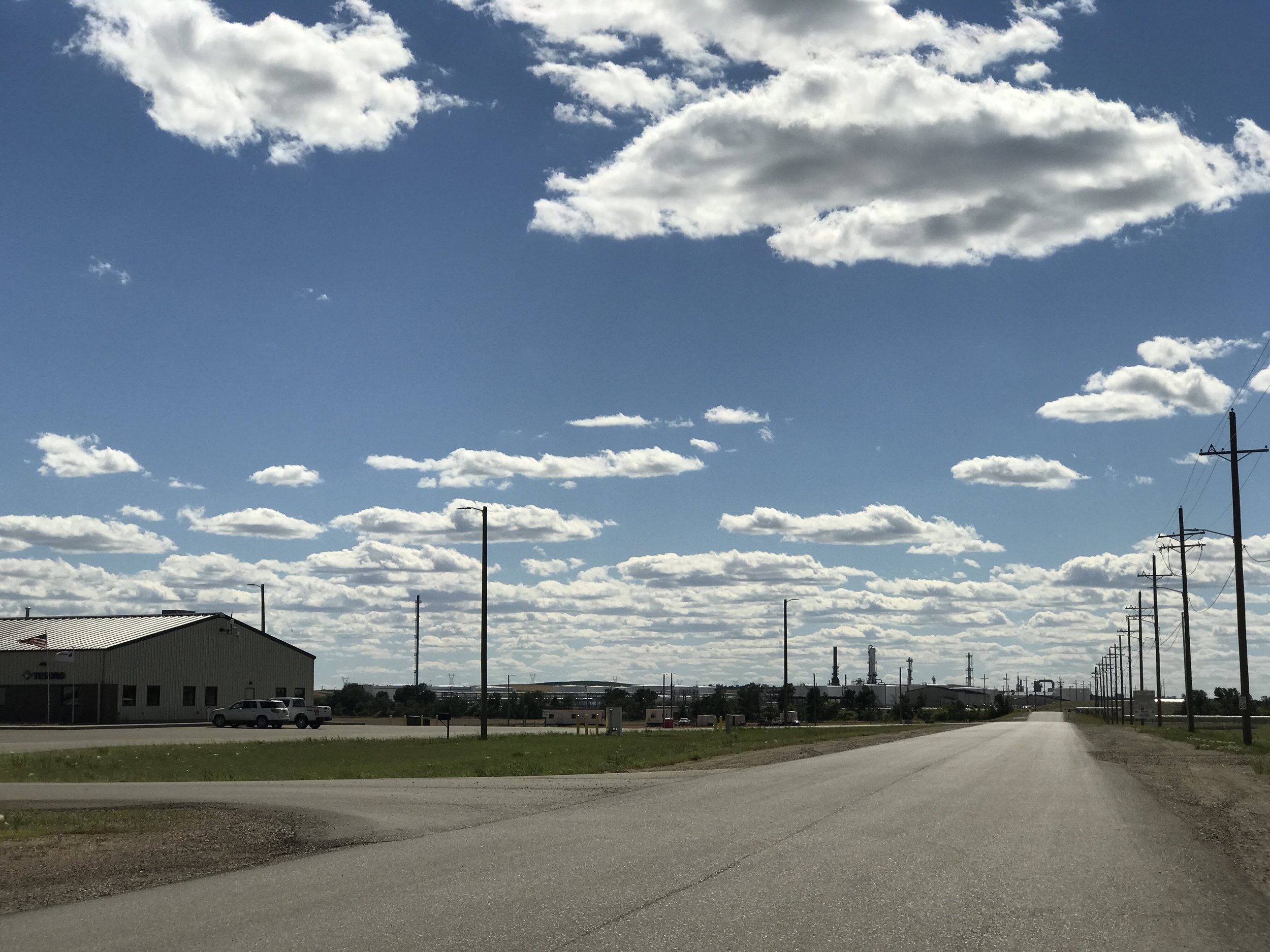
Dickinson Tesoro Refinery
For an overview of our self-guided tours, and some general tips, please visit our Getting Started page. Take a look at Prairie Legacy Wilderness for further information on citizen-proposed permanent Wilderness protection.
The Southern Badlands is less impacted by new Bakken/Three Forks oil and gas development. Older wells do exist and Bakken associated infrastructure is present. Additional oil bearing formations are under or entering exploration. 95% of the Little Missouri National Grasslands is open to oil and gas development. Two Suitable for Wilderness areas managed by the US Forest Service are located in the Southern Badlands – Kendley Plateau and Bullion Butte.
At Dickinson’s far western edge take the I-94 off-ramp (Exit 56) for 116th AVE SW. Head south for approximately 2 miles. The refinery is on the west side of the road. MDU Resources and Calmut broke ground on the 318-acre site in 2013 for the Dakota Prairie Refinery and opened in May of 2015. Initial plans called for a 20,000 barrel per day capacity, primarily to supply diesel for trucks and rigs in the Bakken. Actual production has been less. It was the first new refinery built in the US in over 30 years. Operating at a loss, the refinery was sold to Tesoro in June of 2016.
BCA had no position on the construction of this refinery. Our intent is that you note the size and capacity for comparison with the proposed Davis Refinery between Belfield and Fryburg that is listed below and proposed for siting very near the South Unit of Theodore Roosevelt National Park.
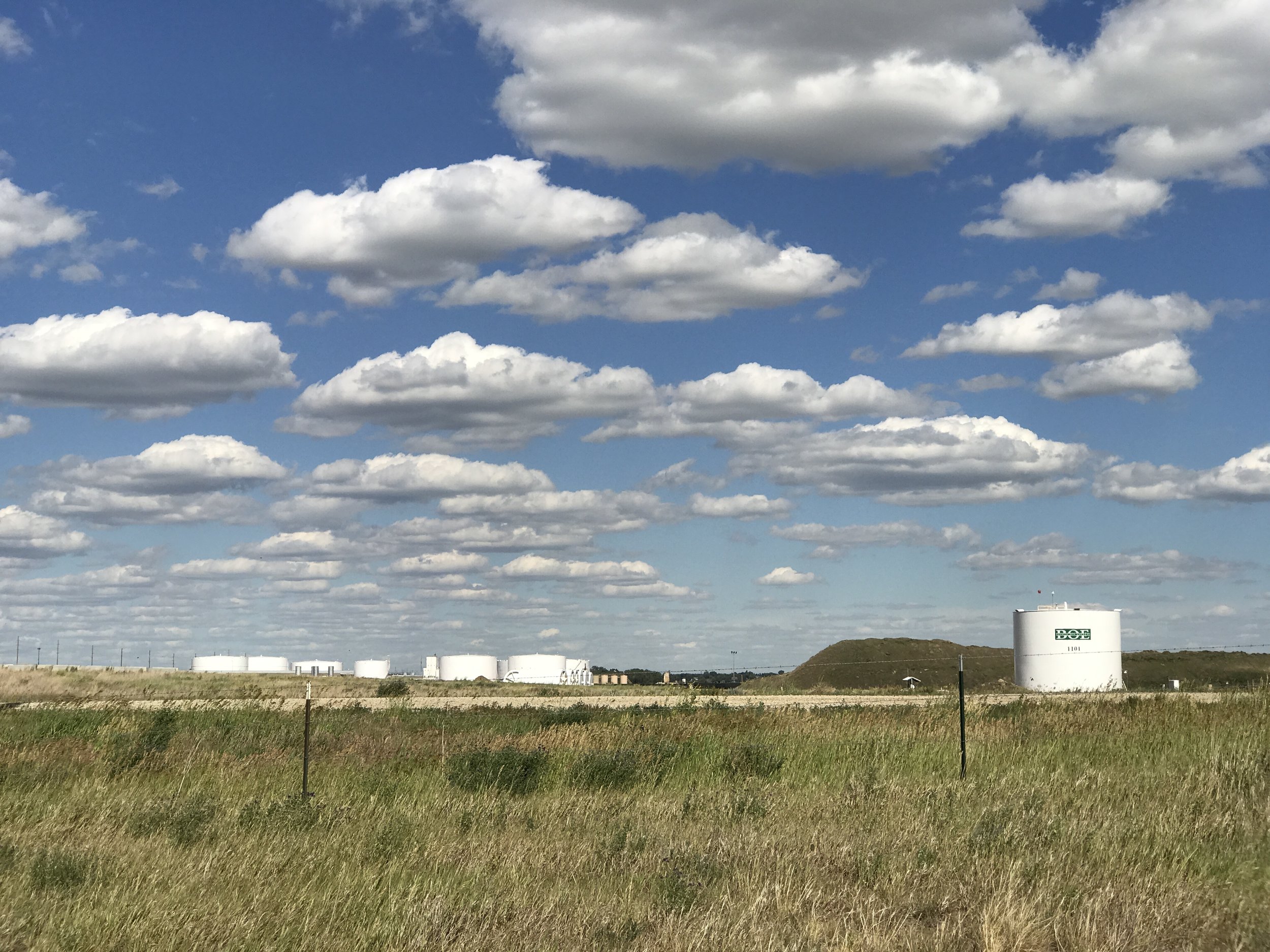
On the east side of the road across from the Tesoro Refinery is the western extent of the Bakken Oil Express. The actual entrance is located at 3761 115th AVE SW, but this position allows you to see the connecting infrastructure. It opened in October of 2011 and is connected to the Four Bears/ Belle Fourche regional pipeline system. BOE is a 4-loop track facility capable of simultaneously loading two trains and has storage for 640,000 barrels on site.
Return to I-94, heading west to Belfield. Well pads become more numerous along I-94 between Dickinson and Belfield.
Head south on HWY 85 at the Belfield exit. Proceed 2.5 miles and turn west at 38 ST SW for 3/4s of a mile. The address is 13072 38 ST SW.
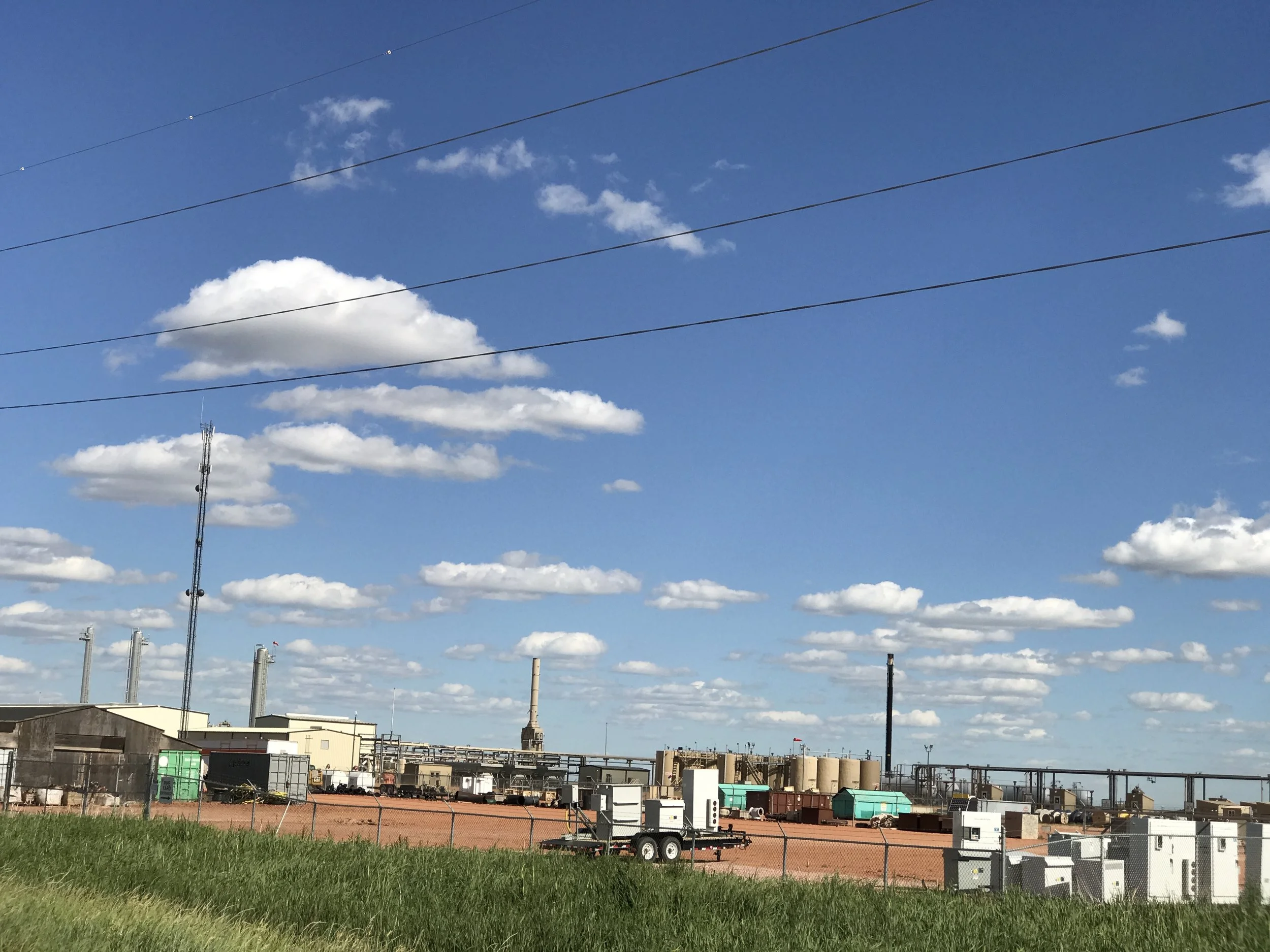
Built and operated by Whiting Oil and Gas Corp. in 2011, Whiting sold off 50% of the plant in 2012 and in 2016 sold the remainder of the natural gas processing and compression plant to an affiliate of Tesoro Logistics Rockies, LLC. Whiting operates a considerable number of wells in the area including to the immediate east of Theodore Roosevelt National Park. The company’s construction of a natural gas gathering system and the gas plant showed a commitment to reduction of flaring.
Proceed on 38 ST 1 mile to 132 AVE SW. Turn north for 1 mile, west for 1/2 mile, north on 132½ AVE past Arrow K Farms. To your left is the proposed 700-acre site for Meridian Energy Group’s Davis Refinery with a 55,000 barrel per day capacity. Note that 700 acres is over twice the size of Dickinson’s existing Tesoro Refinery and the proposed refinery has nearly three times the proposed capacity.
You will cross a railroad track which is also the northern boundary of the proposed refinery. See railroad embankment in photo below.
Harriers (commonly called marsh hawks) are routinely seen along these rural roads. Watch for them!
Take note of agricultural buildings in the area and the railroad so that you may reference the site later, as from within eastern Park boundaries and while traveling on I-94. The site is approximately 2.5 miles from the southeast corner of the Park.
Continue north on 132½ AVE to Old HWY 10 (36th ST). Turn west. As you travel west, the Fryburg Rail Facility will appear to the southwest. Construction was completed in April of 2013. It is the current southern terminus for the 132-mile Bakken Link Pipeline (8 and 12 inch pipes) serving parts of Williams, Stark, McKenzie, Dunn and Billings counties.
In just a little over 3 miles you will turn north (right) on 135½ AVE SW for another .5 mile to return to I-94 via the Fryburg exit. Head west. Note the corner fence boundary for Theodore Roosevelt National Park to the immediate NW as you merge from on-ramp to Interstate. You will now be traveling next to Theodore Roosevelt National Park – north side only.
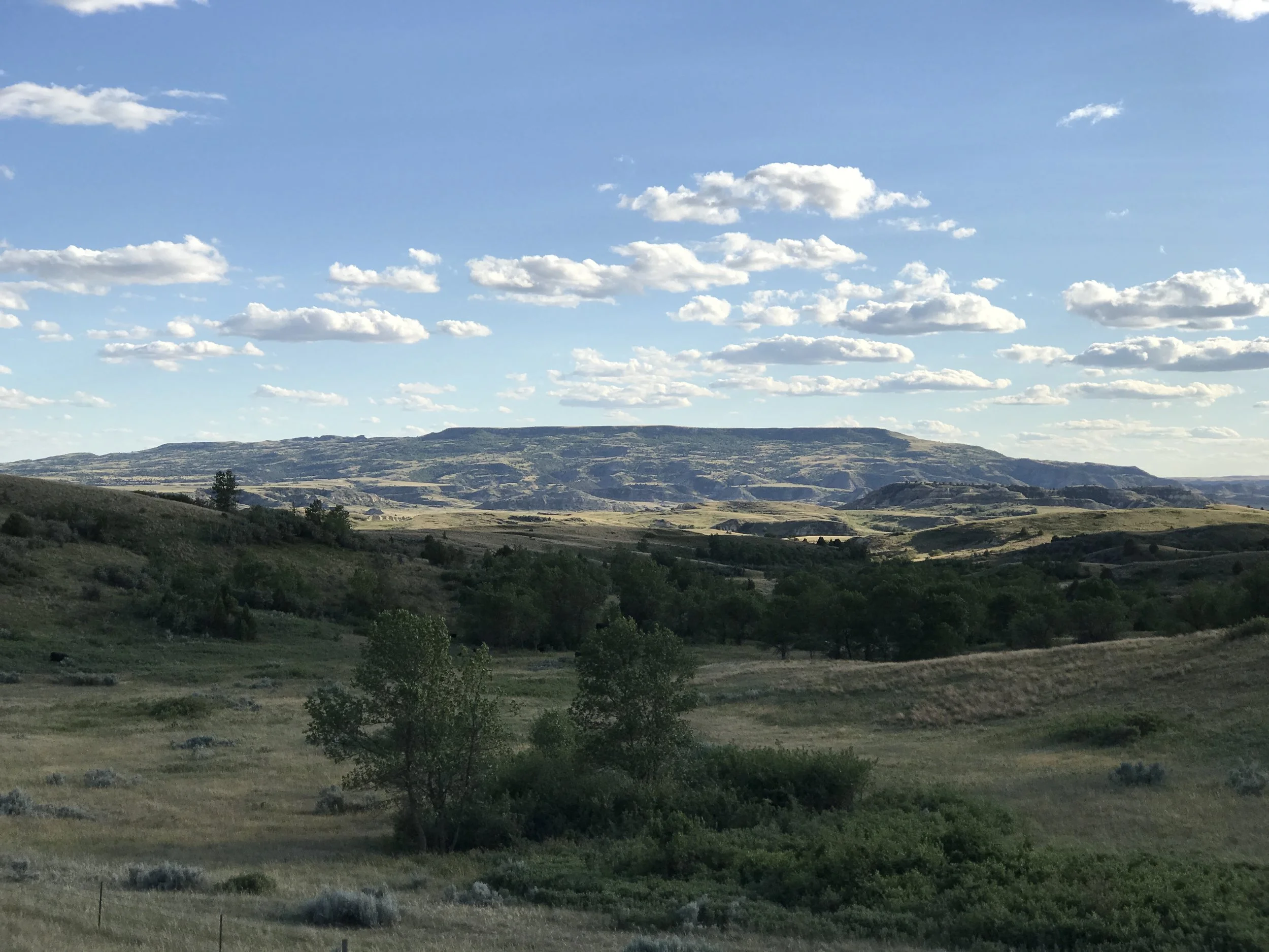
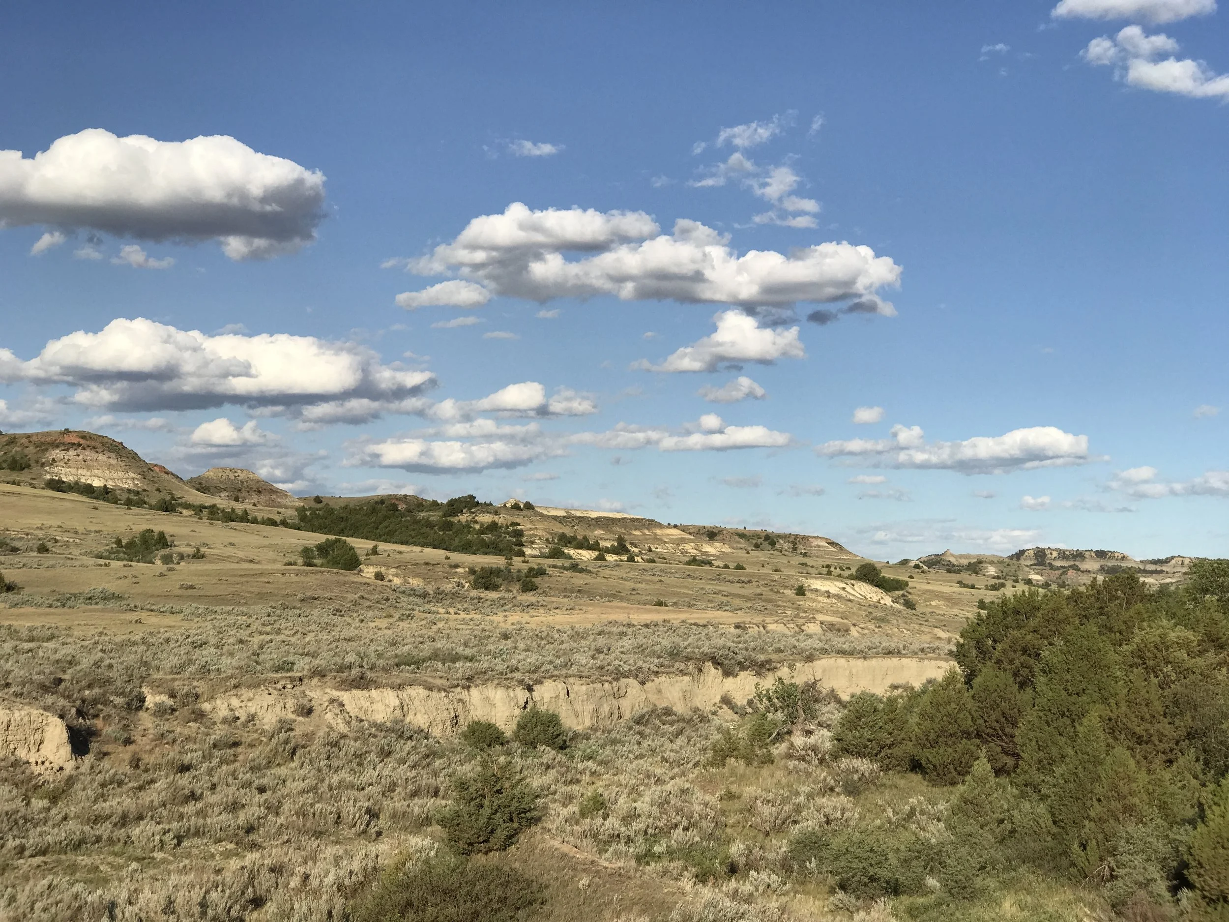
At 1.7 miles from the Fryburg ramp, watch for the southwestern skyline to open to a panoramic view of the Badlands south of the Interstate. The large butte to the far southwest is Bullion Butte. This is an iconic landmark we will note again later.
In @4 miles exit I-94 at the Painted Canyon Visitor Center – open in summer only. Be sure to walk out to the overlook for a spectacular view. If you are lucky, bison and /or elk may be as close as the parking lot.
This is your last modern rest stop for quite some time before you head south into the Little Missouri National Grassland. We advise that you purchase a Little Missouri Grassland map here if you have not yet done so.
When you leave Painted Canyon cross OVER the Interstate to head south into the Grassland. Roads will be gravel or scoria. We recommend first-time explorers keep their Grassland map open and folded to the area you are traveling for frequent reference. Road signs vary – county routes, Forest Service (FS) numbered roads and locally used names - so check the map often and be alert.
Watch for this intersection. Cross these railroad tracks onto Sully Creek Road and turn left.
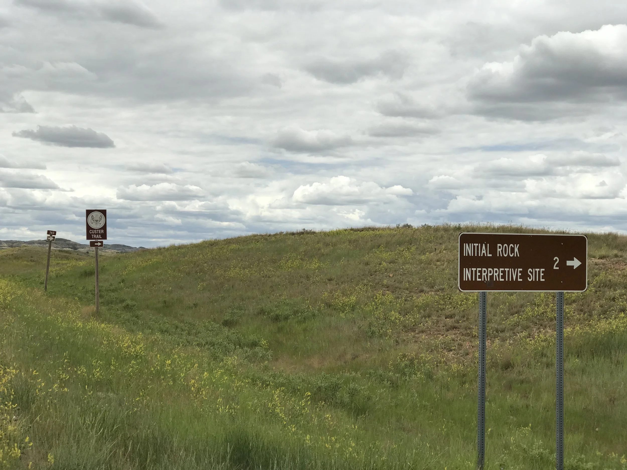
Ignore side roads for the first 1.7 miles until you have a compressor station and a tank battery on your left hand side (east). Cross the railroad tracks onto Sully Creek Road (FS 739). Turn left. Note the Custer Trail sign.
From the railroad tracks, travel north and then east for 1.5 miles. Watch carefully for FS 763. This is a right hand (south) turn. Brown sign with 763 is located on right hand side of road just AFTER you make the turn so it is easy to miss.
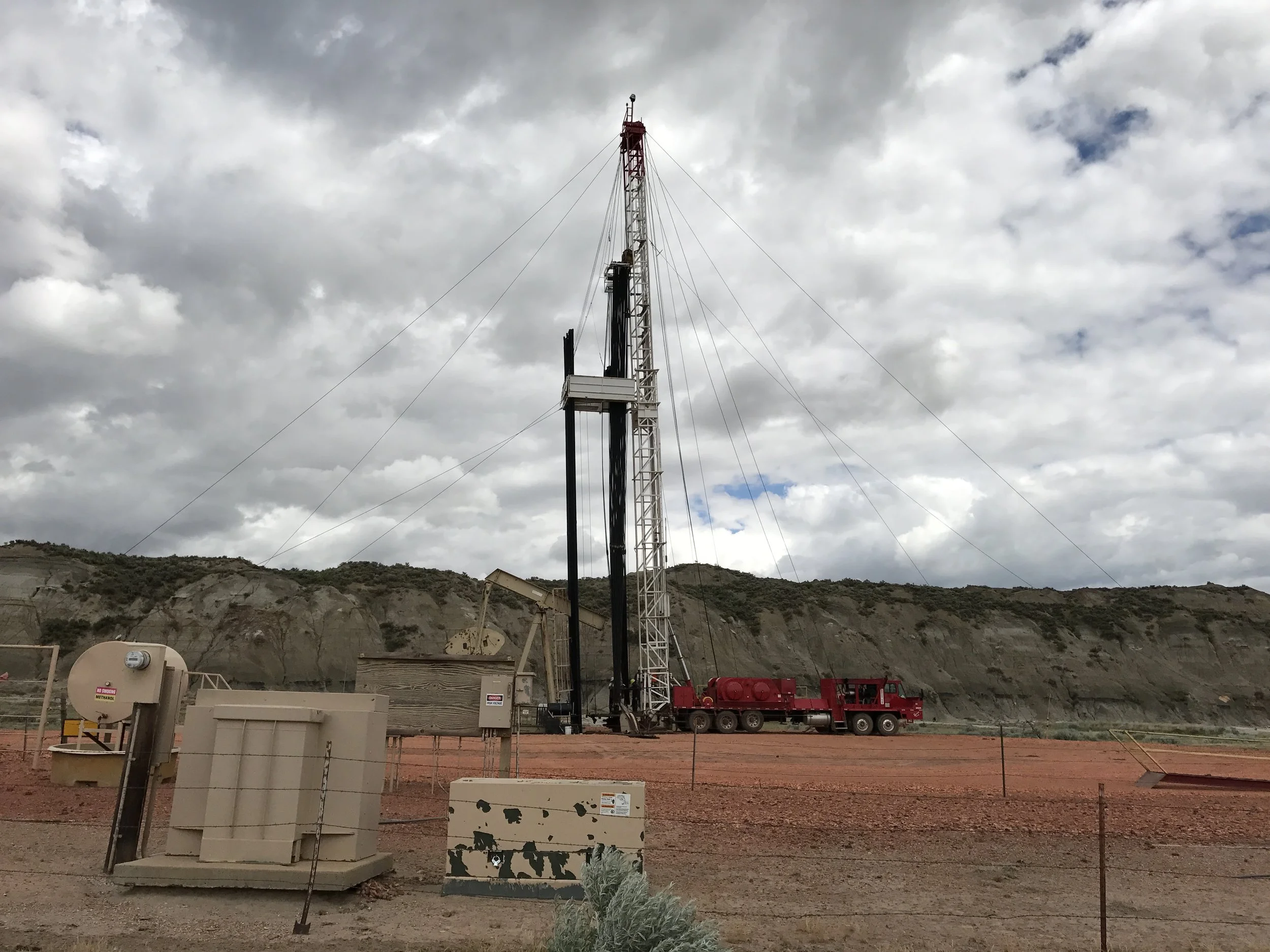
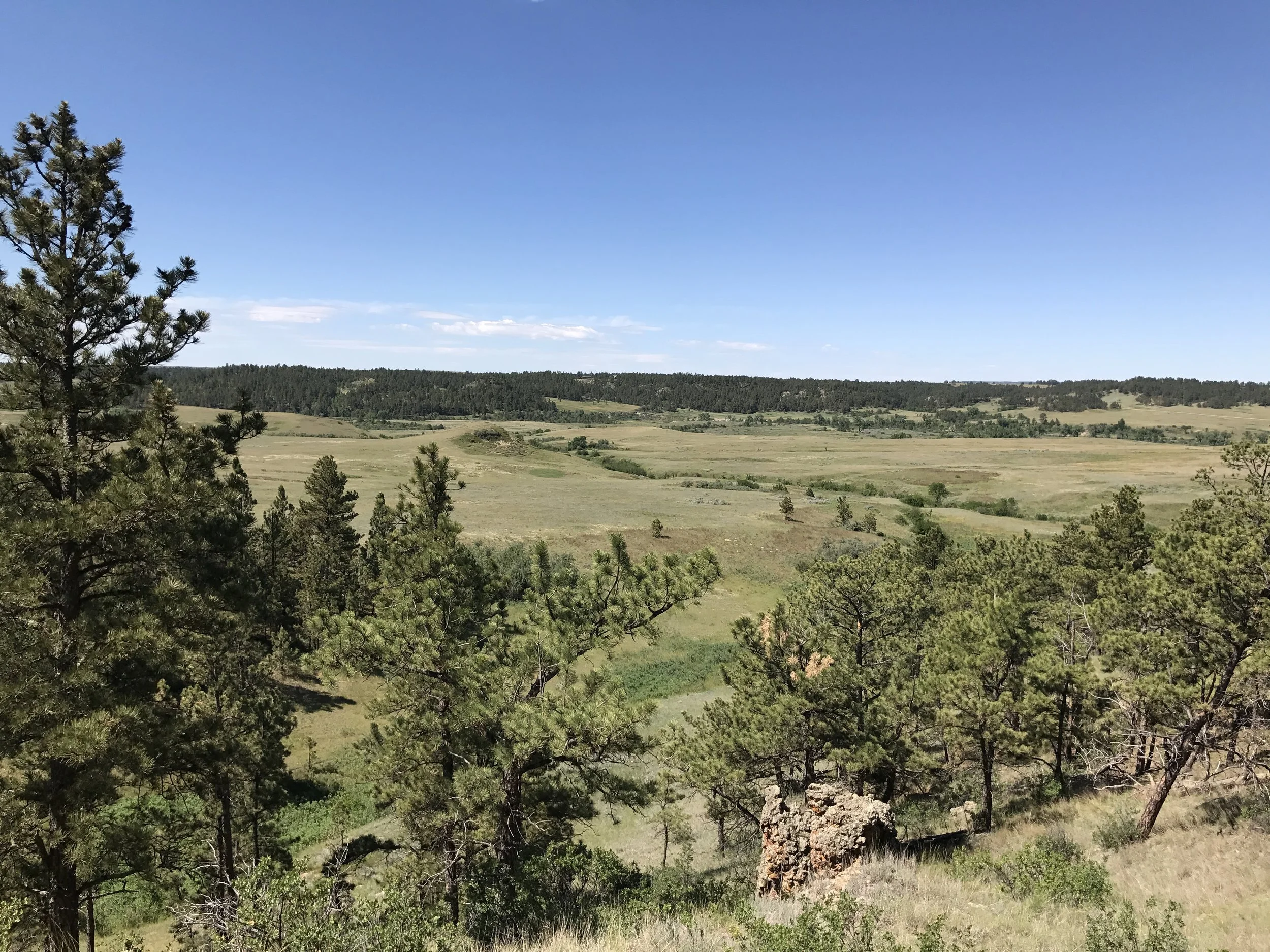
This is the northern end of FS 763. You will visit the southern end later in the tour. This is an in-and-back-out spur trail simply so you get a feel for the openness of the southern Badlands and begin to see what oil and gas activity looks like. You will be in the Fryburg Oil Field where most of the wells were drilled in the early 1990s and are currently a mix of active, inactive and temporarily abandoned wells.
The scoria road is in good condition taking you into beautiful country and past several older wells to dead end at an oil pad in approximately two miles. Remember that oil pads are private property, but feel free to get out of the car for a closer look without trespassing.
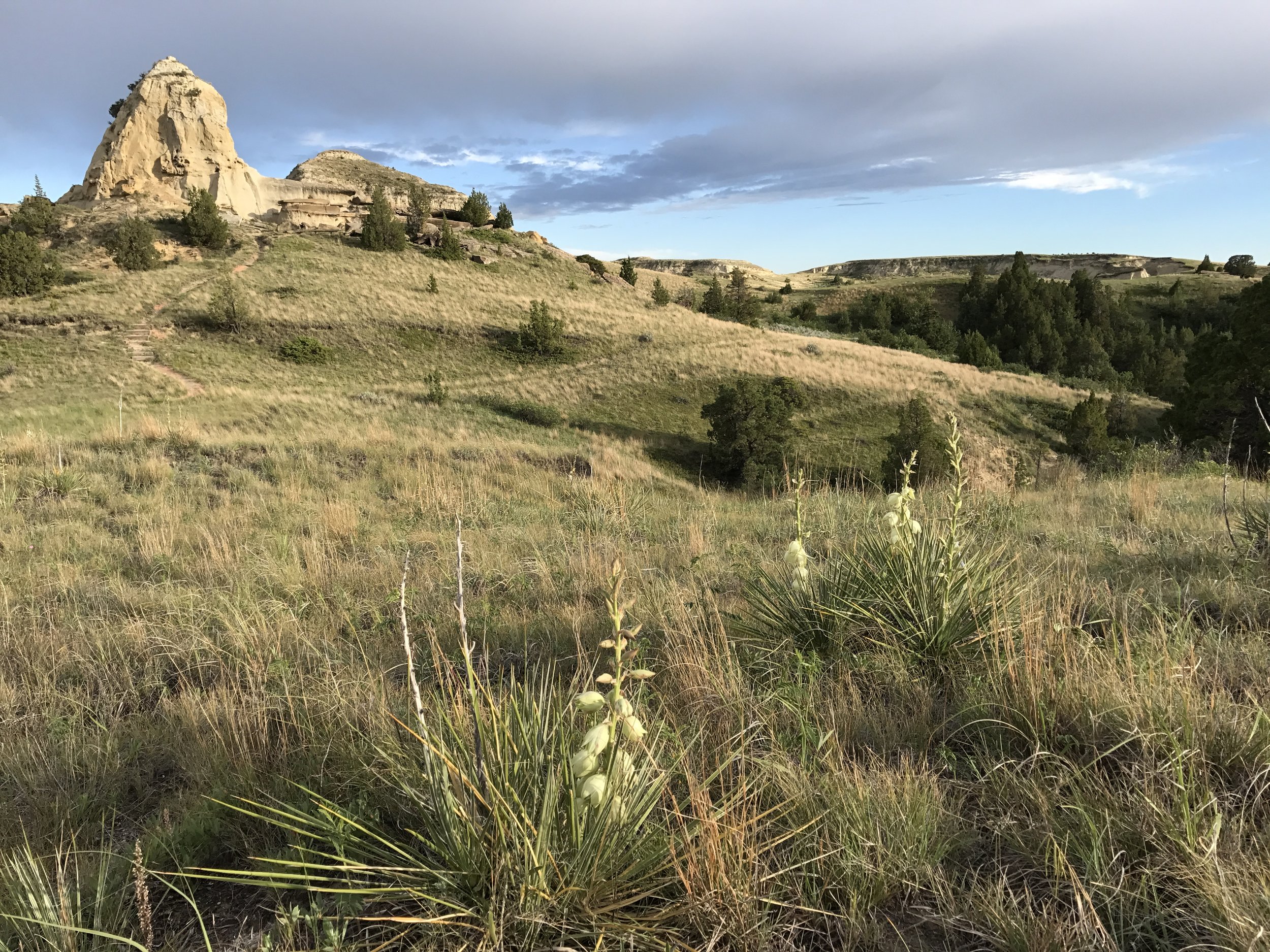
The entire round trip is 3.9 miles. The stunning field of petrified wood that appears three-quarters of the way in is worth the drive. Get out of your car for a closer look at these ancient trees. Watch for pronghorn and raptors.
You might note a rough two-track leading off to the southwest at the sharp turn east in the petrified stump area. This is where FS 763 turns into a rough two-track for a couple miles before becoming a maintained road again farther south. DO NOT attempt to travel this road.
Retrace your steps to Sully Creek Road. Turn right and travel 2.4 miles before again turning south onto FS 762. Your landmark for the turn is the Southwest Water tower (more of a large tank) and a green street sign names FS 762 as 136th AVE. Note the Custer Trail sign.
Experts only — Not recommended for first-timers: At this intersection you are only about a mile from the village of Fryburg and the Fryburg Rail Facility. You have nearly completed a circle. If you are quite familiar with the Badlands and Theodore Roosevelt National Park and have already purchased a USFS Little Missouri National Grassland map, you may opt to skip this one hour portion of the tour by turning SOUTH off Old Hwy 10 after the rail transport facility to enter Fryburg - instead of taking I-94 to the Painted Canyon Visitor Center. You will skip stops #6 and #7. If you choose to do this, drive through Fryburg and continue ½ mile south to 38 ST. Turn west (right) for another half mile and turn left onto FS 762 (136 AVE) at the water tower.
We do not recommend skipping ⑥ and ⑦ for first-timers or visitors with limited experience. This is especially true as you will now travel south on FS 762 for 5.25 miles with little to no evidence of the Badlands that lay immediately to your west. You are in a flat agricultural landscape with only sporadic evidence of oil activity.
Take note as you pass under a large power line. This line crosses the Badlands generally following Davis Creek, so you will see it again — particularly at Initial Rock and just south of Medora.
Just before FS 762 curves west, and immediately after, are two separate historic markers for the Custer Trail. This is the location of Custer’s Easy Hill camp and interpretive panels will give you another different aspect of your tour.
In a mile of the Easy Hill swing westward and the historic markers, you will arrive at the southern end of FS 763. This is a very well maintained scoria road, largely due to oil activity. Take it and head north. You will find yourself on a spider web of oil access roads leading to at least 27 separate oil pads. At its northernmost extent, it is possible to locate the two-track trail coming from the north that we talked about at the beginning of this section, but we don’t expect you to search it out.
It is important that you explore this road a bit to get a feel for existing development so you might imagine the impacts of future development in the Southern Badlands. HOWEVER, it is also easy to get confused on these roads, so go as far as you are comfortable and turn around. Remember, there is only one outlet back onto FS 762, so you can’t get “forever lost.”
As you exit back onto FS 762, turn west (right).
If you are a history buff, in 2.2 miles where FS 762 turns rather sharply southwest there is a side trip to Initial Rock Historic Site on FS 740. Road conditions can vary, but the road is generally good. Watch for the occasional rut and be aware there is a concrete creek crossing that is usually dry.
This is part of the Custer Trail (General George Custer’s route to the Little Bighorn) which follows Davis Creek. The initials of Privates Neely and Williams are etched into a sandstone block near their campsite. While a short jaunt, the 4 mile round trip takes time to do it right. FYI, there is a FS pit toilet on site.
Don’t forget to roll a bit of sage in your hand and smell the refreshing, pungent aroma. Juniper will do your nose the same favor, so give it a try!
With FS 762’s first westward curving descent off the flatlands and into the Badlands, Tracy Mountain has been growing on your western horizon. The large eroded mesa is generally covered with juniper and deciduous mixed forest on its northern and eastern faces and more ruggedly barren on the south.
As you return to FS 762 to travel south approximately 2 miles before heading straight west, FS 762 becomes locally known as Tracy Mountain Road and crosses mostly through private land for a five mile stretch. Much of the Mountain itself is public land managed by the US Forest Service as Tracy Mountain backcountry roadless. It is rich in wildlife habitat, especially known for mule deer and a resident bighorn sheep herd. Tracy Mountain is one of the North Dakota Industrial Commission’s Areas of Interest (Special Places).
Open your windows (except when meeting traffic); drive slow; listen for meadowlarks.
As you travel Tracy Mountain Road, USFS roadless area Kendley Plateau lies off the road to the south, often out of your line of sight. The plateau itself appears intermittently as an expansive flat with eroded cliffs and woody draws. There is a hint of Dantz Creek below its northern face.
A woody draw on the north side of Tracy Mountain Road as it re-enters public land two miles short of East River Road boasts a 290-acre site containing the only known Black Cottonwoods on the Little Missouri. If you watch carefully the taller cottonwoods will stand out.
Many of the wells on private ranchland are temporarily abandoned and have not been producing for years. Recently a new company to North Dakota, Southwestern Production Corporation, applied to the ND Oil and Gas Division to re-work these wells and to drill additional new wells off the northwest corner of Kendley Plateau.
You will re-enter public land 2 miles before the intersection of Tracy Mountain Road with East River Road (County Road 3). East River Road is a major north/ south corridor in the Badlands. Turn south.
Kendley Plateau is one of the four US Forest Service areas on the Little Missouri National Grassland managed as Suitable for Wilderness. Of the 1 million acre Grasslands, less than 40,000 acres are managed as Suitable for Wilderness so this is a very special place. It is just over 11,000 acres and is the largest of the four Suitable for Wilderness areas. Again, wildlife habitat is rich and Kendley is known for its bighorn sheep and soaring raptors so keep your eyes open.
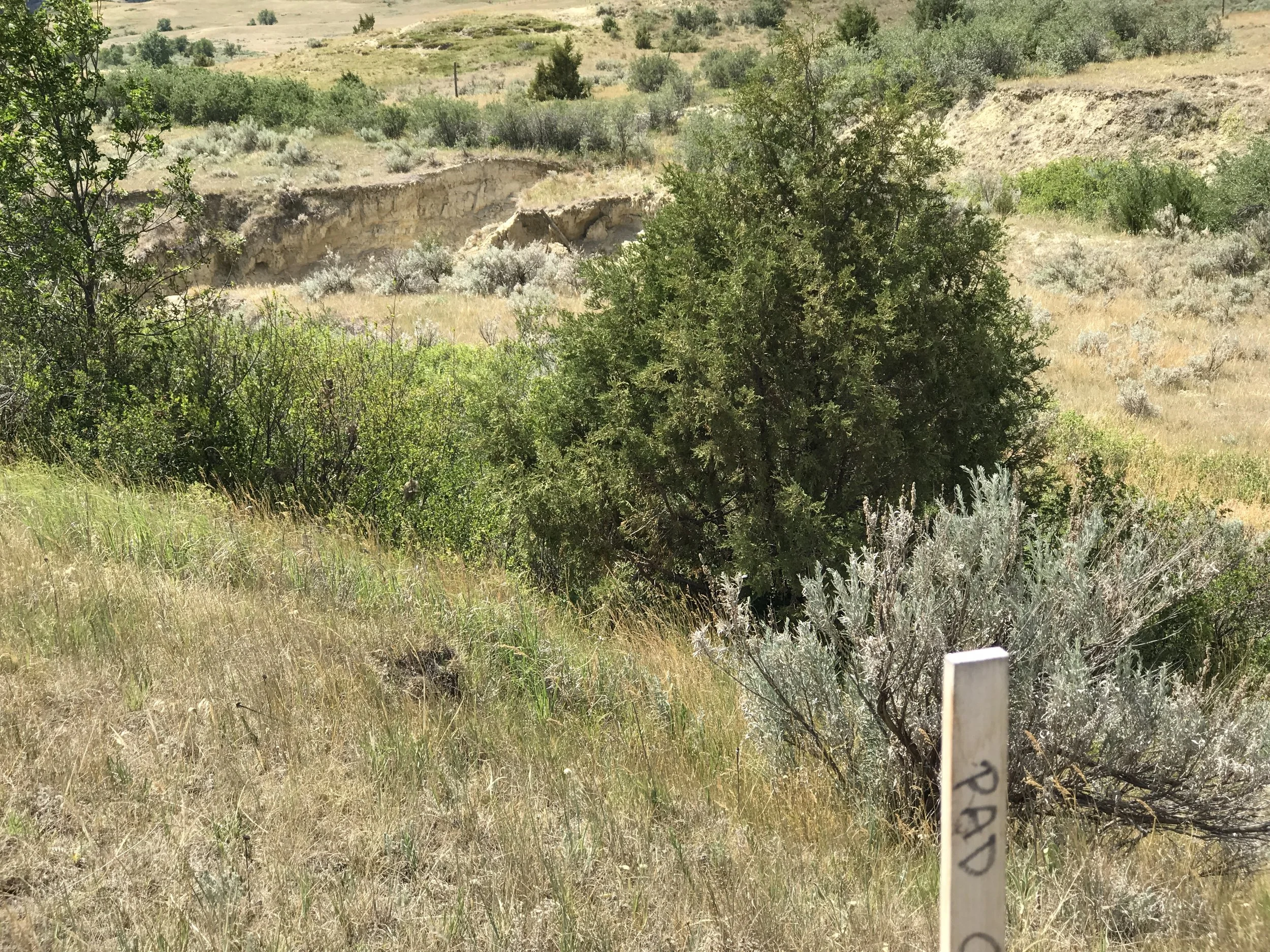
On East River Road you will follow and cross Tepee Creek, possibly without much recognition, but the Dantz Creek bottoms create a significant valley. Dantz is considered the northern marker of Kendley Plateau itself. It is at the Dantz crossing that Southwestern Production Corporation has proposed drilling new wells both east and west of the road, including two pads in the section adjacent to Kendley’s northwest boundary.
Below see the two proposed well pad sites, one on either side of Dantz Creek. The third photo shows a well pad corner stake located immediately above an eroding drainage and natural spring. Yikes!

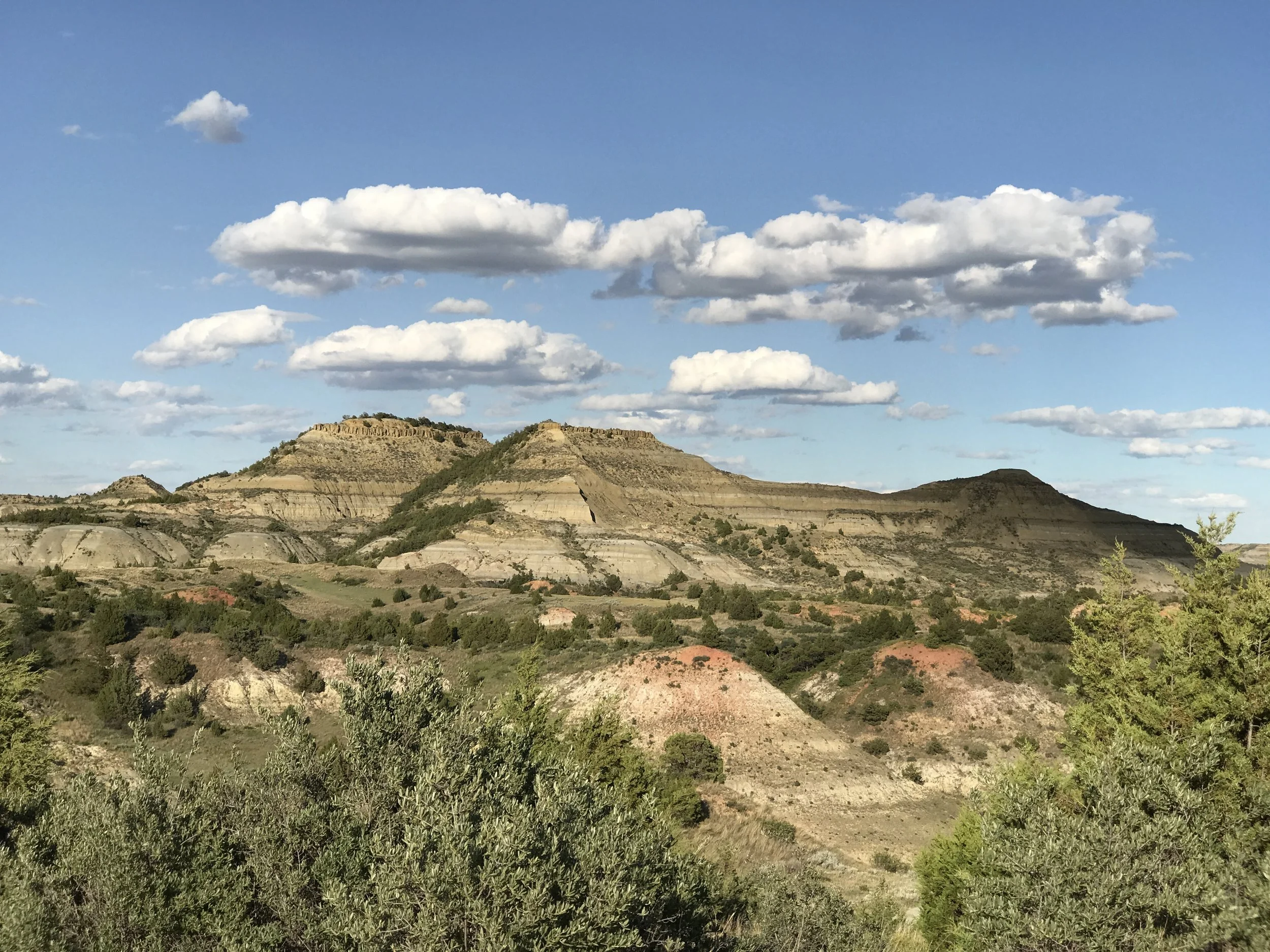
Loey Butte
Loey Butte, pictured here, is a favorite of BCA’s. You can see it in the distance in the first well pad photo above. It has been a destination for more than one of BCA’s warm season outings. To the top! Check out our Events page to join us.
While “Vista Point” is no longer identified on newer USFS maps, it is worth catching in @2.8 miles before you end this tour. Both when entering the Bear Creek valley and again when exiting on the south, one can easily see and identify the mammoth Bullion Butte to the west across the Little Missouri River. To many this is the iconic Badlands butte and is the centerpiece of the second Suitable for Wilderness roadless area in the Southern Badlands. Here the Little Missouri River yielded in geological time to an even broader ancestral Bullion Butte, swinging 12 miles east before presuming its northerly course.
Add it to your Badlands destination bucket-list, but you will have to approach it from the west side of the Little Missouri State Scenic River!
We will turn you around at this point to either retrace your steps or head straight north on East River Road to the hamlet of Medora and the South Unit of Theodore Roosevelt National Park. While you have only begun to explore the southern Little Missouri National Grassland, you’ve got a good start. And, you’ve seen the beauty as well as areas impacted by oil and gas.
If you wish to travel @10 miles further, you will find the Ponderosa Pine area – the northernmost of a series of “ponderosa islands” stretching north from the Black Hills in South Dakota. The historically significant Logging Camp Ranch lies within the pines west of East River Road and is owned and operated by the Hanson Family. They rent cabins by reservation. USFS Burning Coal Vein Campground is just beyond the Logging Camp turn and offers pit toilets. While there is a pump, it is often not operational.
A short Juniper Spur road at the campground, takes you to a dramatic view to the north and west. A sandstone pinnacle juts out from an impressive array of enormous, broken sandstone blocks.
Another 14 miles past the USFS camp brings you out at Amidon, ND and paved HWY 85.
If you are planning on taking this self-guided tour and have any questions, please feel free to contact us. Once you've taken the tour, we would love to hear any comments you might have. Consider joining Badlands Conservation Alliance so that we can keep you updated about issues and events, including BCA outings and new self-guided tours.