Current Issues
These issues are an occasion for official comments from you, the public. This is an excellent way for you to become more involved. We will update you on the issues and on opportunities for participation as they occur. Becoming a member is the best way to ensure that you’ll receive the latest information.
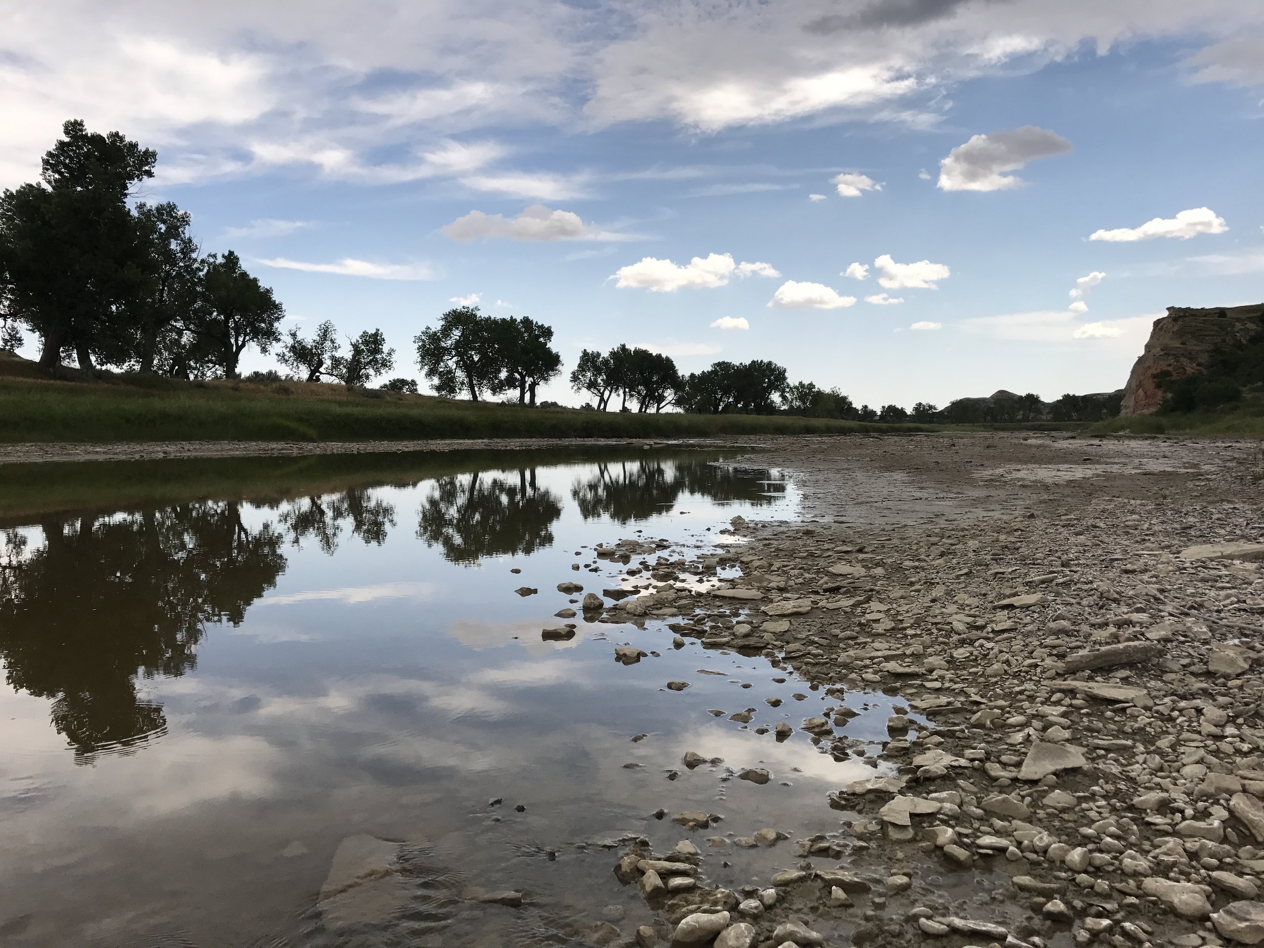
Fracking Water Permits
Withdrawal from the Little Missouri State Scenic River
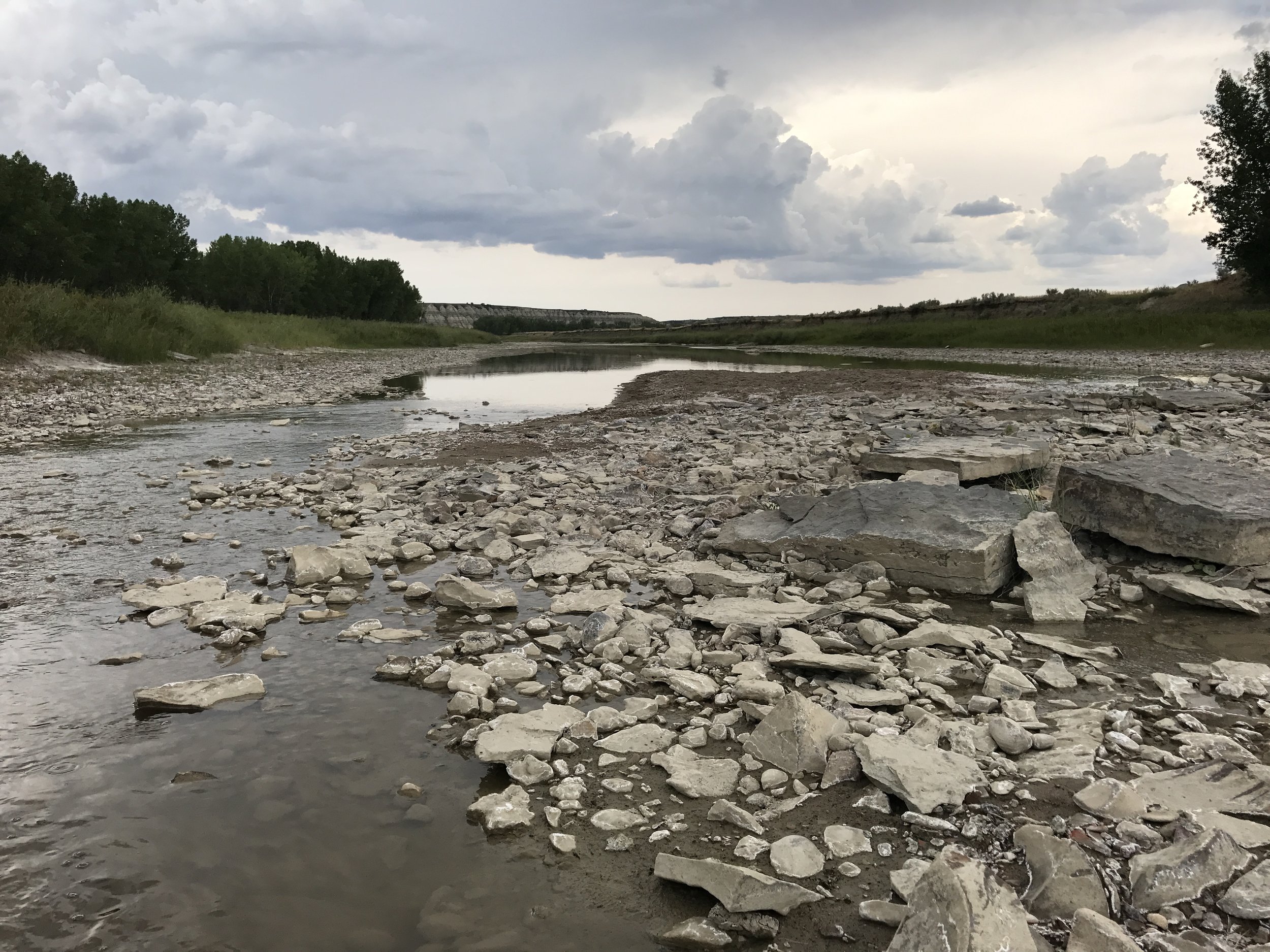
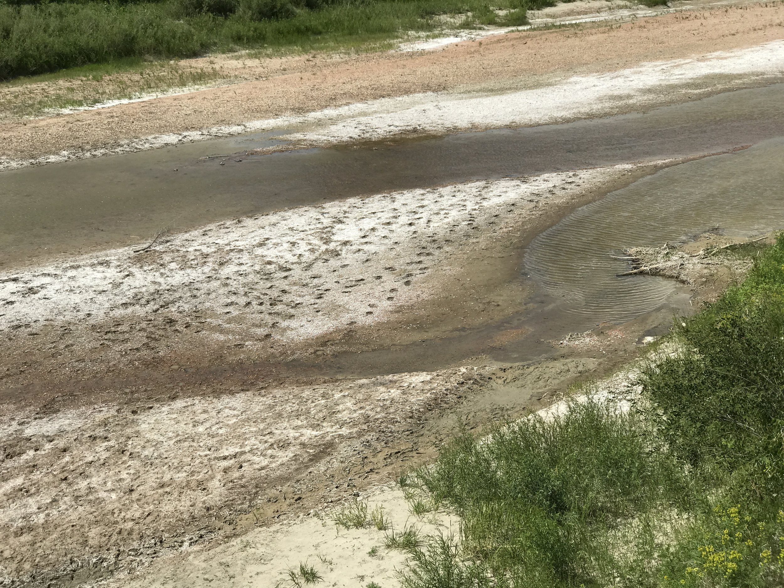
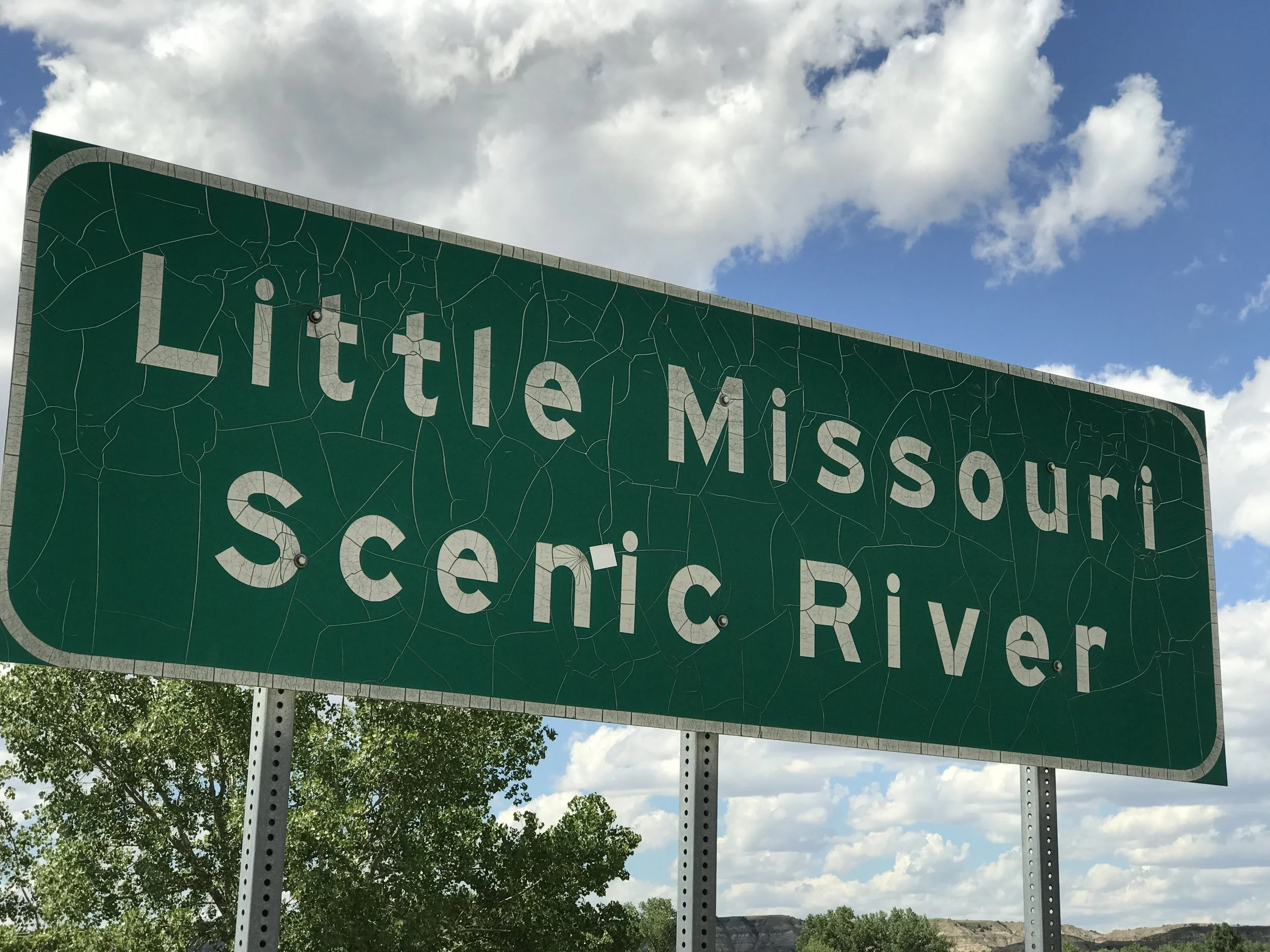
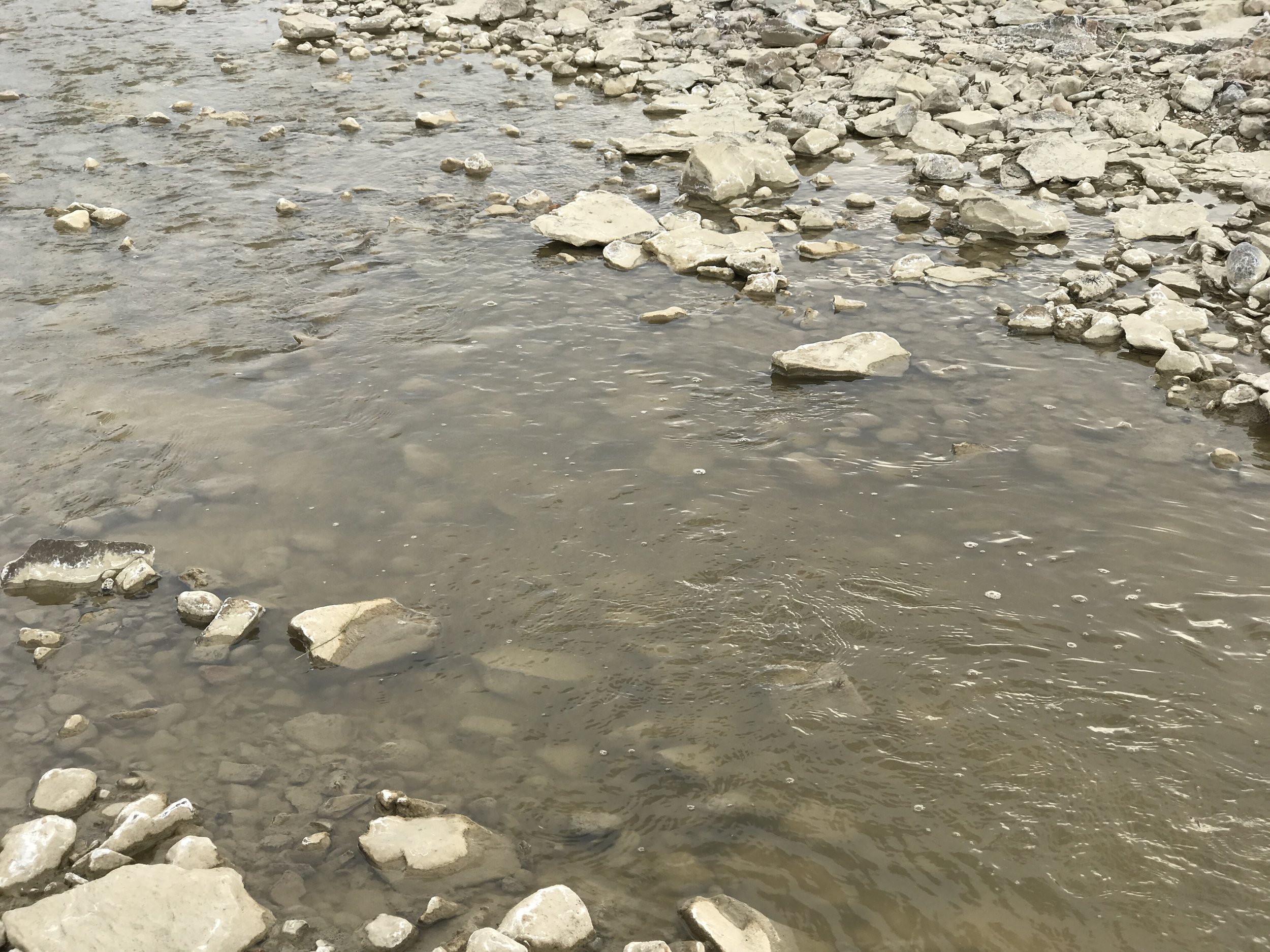
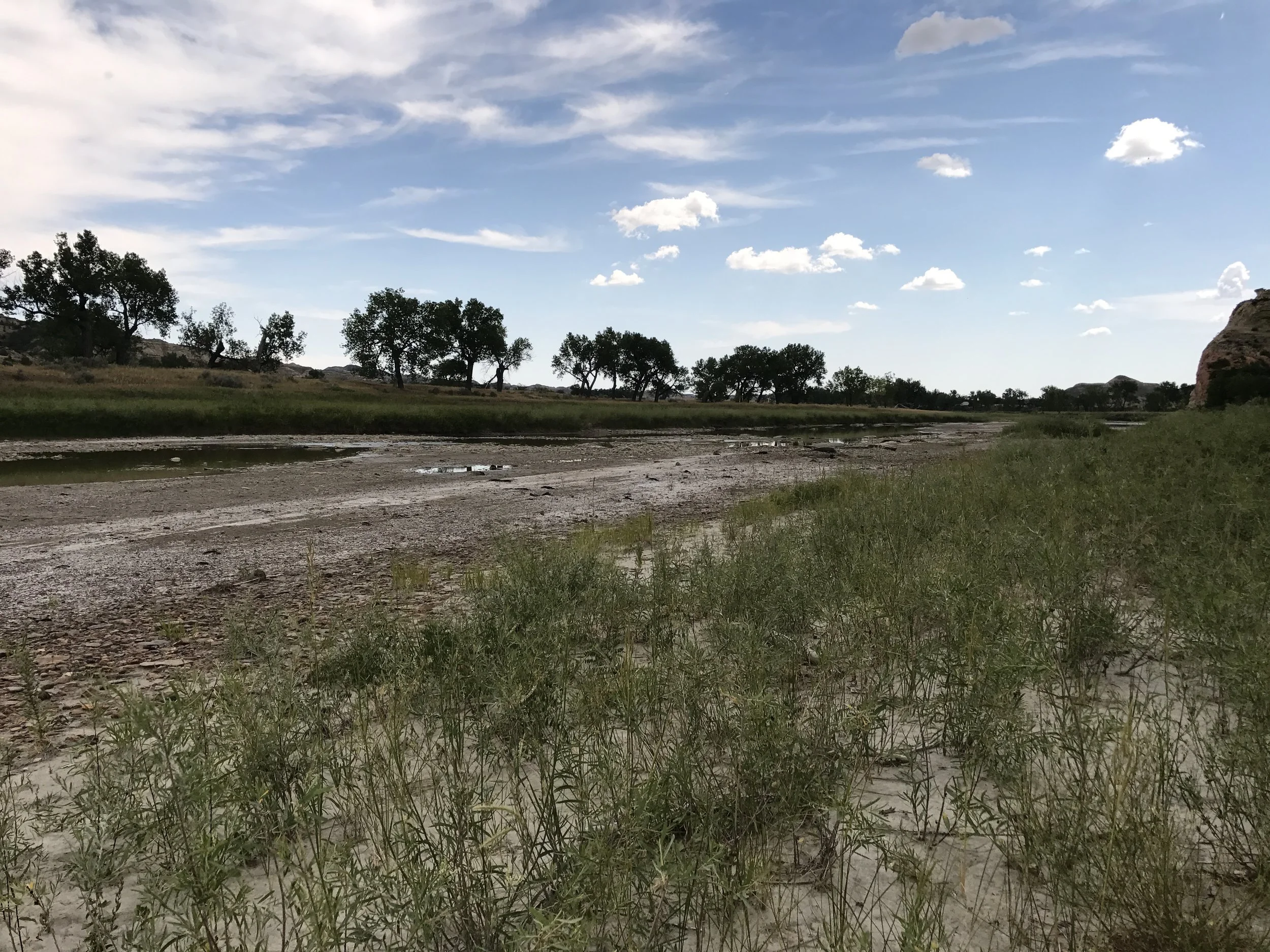
In 1975, the Little Missouri State Scenic River Act was signed into ND law “to preserve the Little Missouri River as nearly as possible in its present state, which shall mean that the river will be maintained in a free-flowing natural condition, and to establish a Little Missouri River commission” and “to maintain the scenic, historic, and recreational qualities of the Little Missouri River and its tributary streams.” Water permits from the River were allowed for only agricultural and recreational purposes.
Since 1990 the State Water Commission (SWC) has been illegally granting temporary industrial permits, largely for construction and dust control purposes. Since the arrival of the Bakken Boom, permits have additionally been approved for oil development and fracking water. The SWC has claimed they were unaware of the law.
The 2017 Legislature changed the language to include these temporary industrial permits and it was signed by the Governor.
The LMSSR Commission discontinued meeting in 2007 at about the same time as the Bakken Boom began in ND. Citizen protest of the Legislature’s language change prompted the Governor to re-instate the Commission and it met for the first time in nearly 10 years on August 9, 2017, with its second meeting on October 11, 2017.
An interim policy approved by the SWC on June 22, 2017, which currently allows fracking water withdrawal from the Scenic River, will be revisited by the SWC after the LMSSR Commission has considered it. At this point that decision is on hold awaiting further consideration.
In 2021, the LMSSR Commission held one meeting.
Expansion of HWY 85
A proposed four-lane divided highway through the Little Missouri State Scenic River Valley and trespassing on the North Unit of Theodore Roosevelt National Park


HWY 85 has been four-laned between Watford City and Williston with the portion south to Belfield having seen considerable upgrades to widen shoulders and provide turning and passing lanes. The ND Department of Transportation is currently developing a divided four-lane expansion plan from Watford City to Interstate-94 at Belfield.
Our focus is with the Park, the Scenic River Valley, US Forest Service roadless areas Lone Butte and Long X Divide at the southern end of the River Valley, and blockage of migratory movement of wildlife.
The new Long X Bridge is in place with wildlife crossings in the design that are being used by bighorn sheep and more.
During the planning process meetings were held in Belfield and Watford City in July 2016. No consideration was given for any alternative that did not include a four-lane divided highway through the Park. Two 2017 by-invitation (but open to the public) stakeholder workshops were held in Fairfield with little to no change.
Descriptions and maps of the proposed project, workshop presentations and handouts may be found here: https://www.nddotwilliston.com/85-project-watford-city-i94/
Meanwhile, BCA continues to advocate for lowering the speed limit on highway 85 through the Little Missouri River canyon and signage by NDDOT to educate drivers that they are passing through Theodore Roosevelt National Park (which includes land on both sides of the highway).

In February of 2023, the NDDOT awarded a “contract to construct the four-lane divided highway between Watford City and the Long X Bridge to Central Specialties Inc.”
The Alexandria, Minnesota-based contractor submitted the low bid of $77,229,503 for the 10.29 miles of Highway 85 between the Long X Bridge and the Watford City Bypass. The southern part of the project runs through the Little Missouri Badlands, an area with highly-eroded buttes and hillsides composed of soft silts and clays with sparse vegetation. Grading work is expected to begin this spring.
NDDOT has already upgraded Hwy 85 to a four-lane divided highway from Williston to Watford City, including reliever routes, and the replacement of the Lewis and Clark Bridge over the Missouri River. The Long X Bridge has already been upgraded to four-lanes with clearance for freight movements.
Industrial Park or National Park?
Refinery proposed next to Theodore Roosevelt National Park
The proposed refinery location is behind the railroad embankment near the silos.
Meridian Energy Group is proposing to “neighbor-up” with the South Unit of Theodore Roosevelt National Park. The company wants to build a 700-acre-plus crude oil refinery capable of producing 55,000 barrels at a location less than 3 miles off the Park’s southeastern boundary.
Meridian is marketing their project as stimulus for a larger industrial complex at this sensitive location. BCA finds this site inappropriate and unacceptable. The project received a re-zoning and conditional use permit from the Billings County Commission on July 6, 2016 after its third hearing. Now the ND Public Service Commission and the ND Department of Environmental Quality continue to be involved in this proposed refinery.
Updates and alerts will appear on government and interested party websites and in the press. Watch for them. Another source of information on the refinery is The Prairie Blog including this latest piece: “Is a Refinery Really A Good Investment?”
Billings County Bridge
Proposal near Elkhorn Ranch Unit of Theodore Roosevelt National Park
The Elkhorn Ranch Unit is the 218-acre site of President Theodore Roosevelt’s ranch headquarters during his time spent in North Dakota. Often referred to as “the cradle of conservation” due to Roosevelt’s considerable conservation legacy as President, the small protected parcel is surrounded by intermingled private and multiple-use US Forest Service lands.
Again, federal monies may be involved, which triggers the NEPA process. Concerns include “feeder roads” and industrial oil and gas traffic that will extend into the heart of the Badlands bringing unprecedented impacts.
The county’s engineering firm KLJ has made public that the current Preferred Alternative is Alternative K, Option 1 located at the north end of the privately-owned historic Short Ranch.
Background information, a map and schedule for public involvement may be found on the Billings County webpage at “Little Missouri River Crossing.” Monitoring this proposal is needed and there is increased concern from conservation advocates especially with the imminent building of the Theodore Roosevelt Presidential Library in Medora. The Elkhorn Ranch area is easily reached by roads on the west side of the river used for generations.
Dust from vehicle traffic will adversely affect the grasslands and the Little Missouri River, impacting not just the plants, but all the animals that use them for nesting, food & cover. Fugitive dust will impact the threatened Dakota Skipper and the Northern Long-eared Bat. It will impact every species using the grasslands — the Western Meadowlark, Sharp-tailed Grouse, Golden Eagle, Bald Eagle, Bobolink, Black-tailed Prairie Dog, Big Horned Sheep, Plains Spadefoot, and many others. Cattle will also be impacted.
The road that will connect the Little Missouri Bridge with U.S. Highway 85 will pass within two miles of the Elkhorn Ranch Unit of Theodore Roosevelt National Park — creating another threat to this important piece of US history.
The county is invoking eminent domain to take land from The Short Family, who has been ranching on that land since 1902. Other landowners within the project area may also be unwilling to sell.
Attorneys for The Short Family have filed two federal lawsuits related to this project: one asserts that Billings County did not follow the required process outlined in the National Environmental Policy Act in their completion of the Environmental Impact Statement and failed to consider some significant impacts to the ranch, while the other challenges the use of eminent domain.
The state Department of Transportation has declined to support the project, despite numerous requests. Funds for highway improvements and bridge replacements throughout North Dakota also begs the question as to whether a bridge needs to be built in Billings County in that location.
Theodore Roosevelt National Park
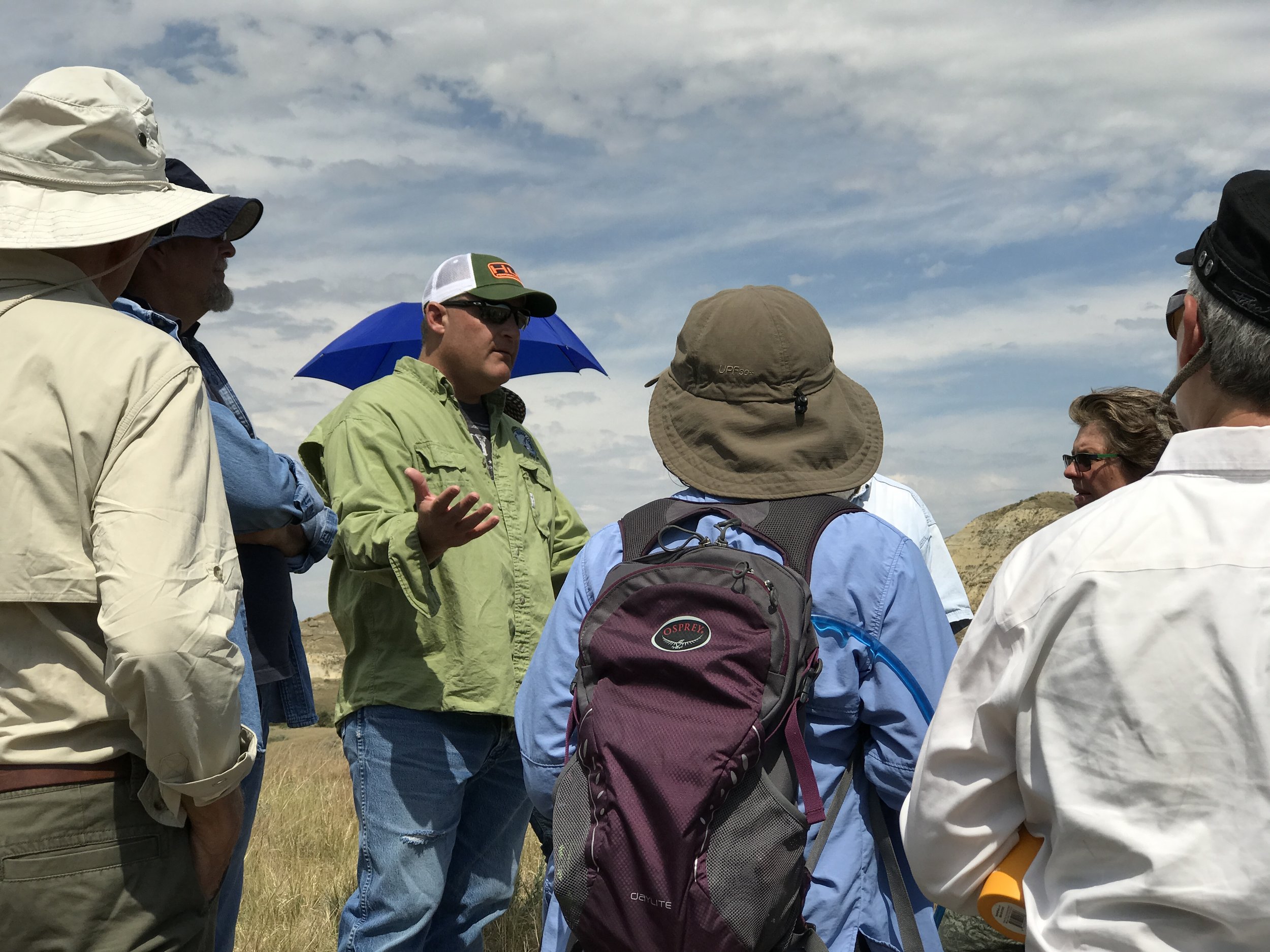
BCA continues to be engaged in the management of Theodore Roosevelt National Park, the only NPS park named after a President. This includes all three units of the Park, the South Unit, the Elkhorn Unit, and the North Unit. BCA leaders and members attend meetings and events regarding the park while also visiting the park. Currently, the Park is engaged in a long-range planning process for facilities improvements to focus on needs like emergency response coordination with the counties and the USFS as well as housing demands and other challenges. The Park received long-needed funding to repair the portion of the loop road in the South Unit that has been closed for years due to slumping and the public is eager for this project to be completed. The way-side exhibits have been updated along the road in recent years. Meanwhile, Park visitation increases each year and is projected to increase with the opening of the Theodore Roosevelt Presidential Library. Visit the Park’s website at nps.gov/thro for more information or call the Park.